Trains in the Mission: Difference between revisions
fixed navigation for new page |
copied picture and map from Bernal Cut to here |
||
| Line 19: | Line 19: | ||
[[Image:21st-and-Harrison-SP-train-1905-AAA-9981.jpg]] | [[Image:21st-and-Harrison-SP-train-1905-AAA-9981.jpg]] | ||
'''Southern Pacific train running on Harrison Street near 21st, 1905.''' | '''Southern Pacific train running on Harrison Street near 21st, 1905.''' | ||
''Photo: San Francisco History Center, SF Public Library'' | |||
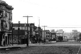
[[Image:transit1$29th-dolores-c-1902.jpg]] | [[Image:transit1$29th-dolores-c-1902.jpg]] | ||
'''29th & Dolores Sts., apx. 1902, railroad bridge in background.''' | '''29th & Dolores Sts., apx. 1902, railroad bridge in background.''' | ||
''Photo: Greg Gaar Collection, San Francisco, CA'' | |||
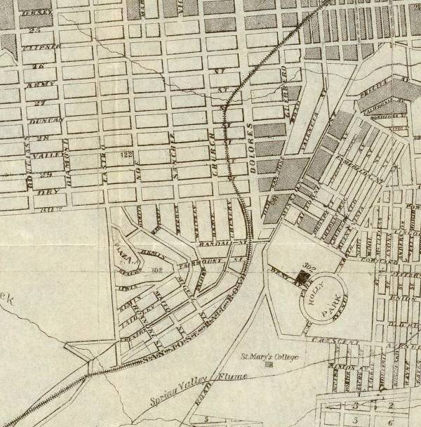
[[Image:1873_SFSJ_RR_missiondist_rumsey.jpg]] | |||
'''The actual route of the San Francisco-San Jose Railroad through Noe Valley - 1873 - (David Rumsey Collection)''' | |||
[[Image:Rr-in-noe-valley-towards-bernal-cut 3014.jpg|720px|thumb]] | |||
'''Railroad right of way visibly curving through lower Noe Valley in this early 1940s aerial image.''' | |||
''Photo: San Francisco Planning Department'' | |||
Revision as of 15:23, 25 April 2013
Unfinished History
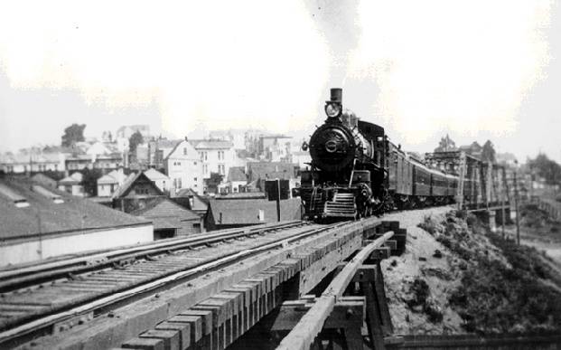
Southern Pacific's San Jose Railroad chugging through the Mission District, c. 1920
Photo: Greg Gaar Collection, San Francisco, CA
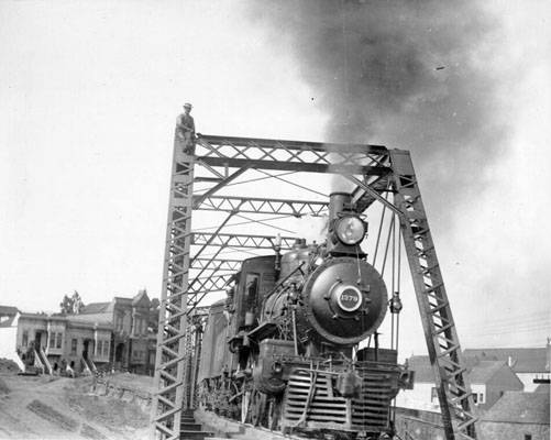
Train on bridge near Dolores Street, 1908.
Photo: San Francisco History Center, SF Public Library
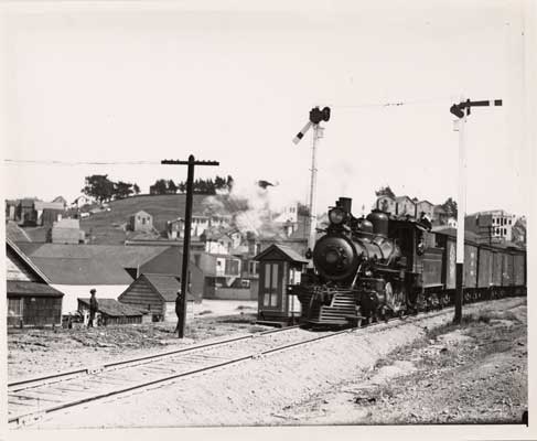
Railroad passing Bernal Cut, 1908.
Photo: San Francisco History Center, SF Public Library
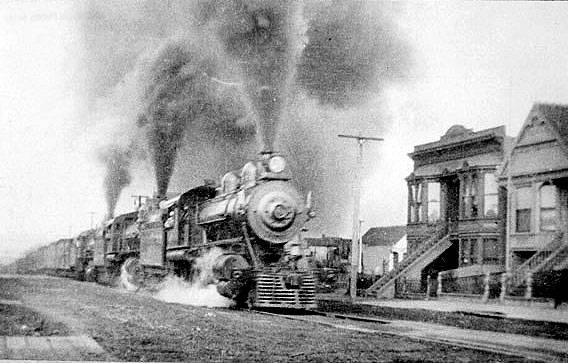
Southern Pacific train running on Harrison Street near 21st, 1905.
Photo: San Francisco History Center, SF Public Library
29th & Dolores Sts., apx. 1902, railroad bridge in background.
Photo: Greg Gaar Collection, San Francisco, CA
The actual route of the San Francisco-San Jose Railroad through Noe Valley - 1873 - (David Rumsey Collection)
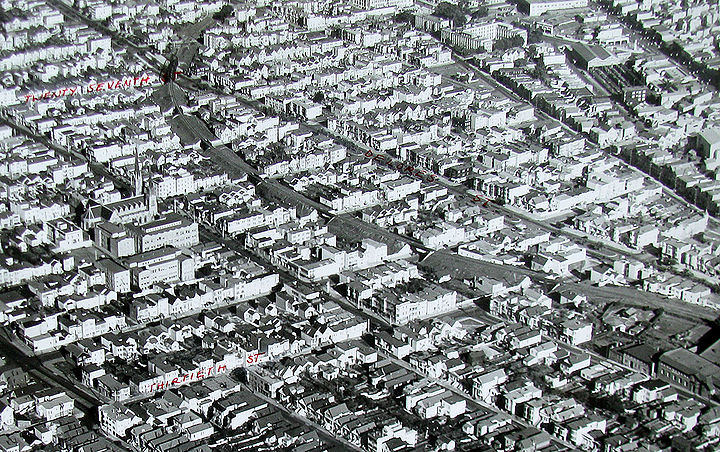
Railroad right of way visibly curving through lower Noe Valley in this early 1940s aerial image.
Photo: San Francisco Planning Department

