St Mary's Development
Unfinished History
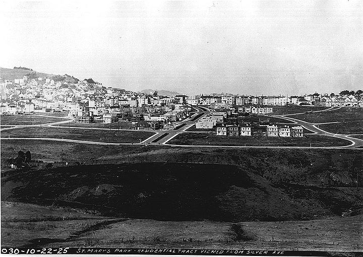
Silver Avenue view: 1925 northeastward towards the new St Mary's Residential Tract southwest of Bernal Heights and west of the St. Mary's Recreation Center
Private Collection, San Francisco, CA
A scale wooden model of San Francisco was built in 1940 from 1938 aerial photos taken of the whole peninsula, and the San Francisco Public Library and SFMOMA’s Public Knowledge project showcased portions of the model in library branches in 2019.
Photo: LisaRuth Elliott
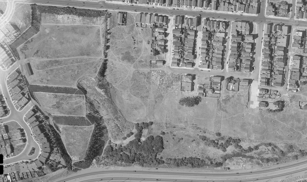
Aerial photo from 1938 mentioned above, showing the east edge of the St. Mary's Bell.
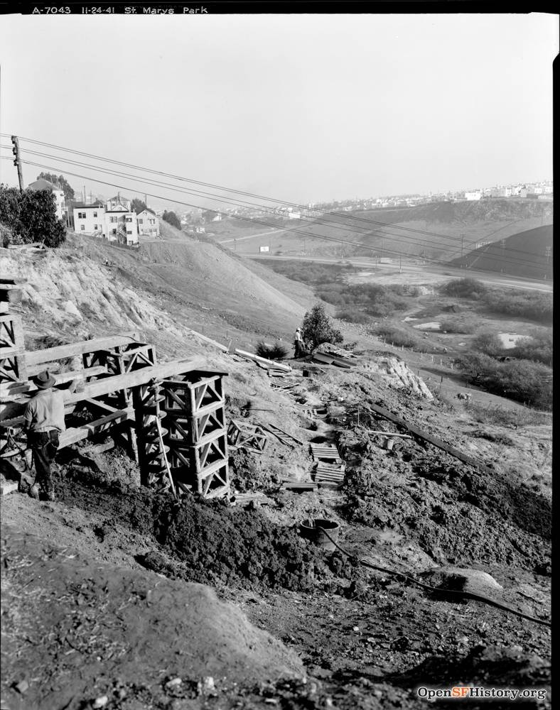
November 24, 1941: View southeast toward Alemany Boulevard and Silver Terrace from the east edge of St. Mary's Park. Ponds visible at bottom of hill where Alemany Public Housing is today.
Photo: OpenSFHistory.org, wnp26.051, DPW A7043


