Sierra Point: From Dump to Office Park
Historical Essay
by Chris Carlsson
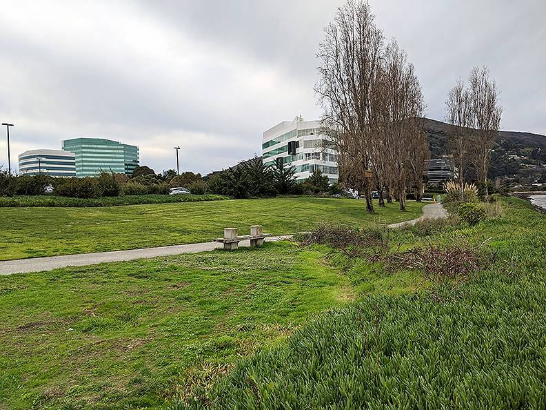
Sierra Point office park, 2020, looking west with San Bruno Mountain rising in distance.
Photo: Chris Carlsson
When the original McAteer-Petris Act passed in 1965 to create the Bay Conservation and Development Commission, dumping garbage in the bay would soon be halted. But Sunset Scavenger and the Sanitary Fill Company, recognizing that their existing dump was nearly full, had already identified some tidelands off the eastern edge of San Bruno Mountain at Sierra Point to use as their next sanitary landfill. Millions of dollars was spent to prepare the site and when Brisbane’s City Council tried to reverse their original support for the landfill, Sunset dramatically and publicly went ahead and moved their operations to the new site. Leonard Stefanelli was by then the President of Sunset Scavenger and, egged on by his attorney, was driving the truck that blew through a police barricade:
“Time was running out—by now it was July 1966. The current waste site would fill to capacity in three short months… With my approval, along with the people of Sanitary Fill Company and the Easley & Brassy Corporation, Scavenger’s Protective Association agreed to proceed. The plan was confidential and would be implemented through tactics similar to a well-planned military action. On a Friday night in late November of 1966, we would terminate the current operations on the west side of the freeway in the City of Brisbane and begin dumping garbage at Sierra Point.”
Repeated efforts by Brisbane citizens to block the bay dumping eventually failed. Sierra Point today is an office park east of Highway 101 at the southeast corner of San Bruno Mountain.
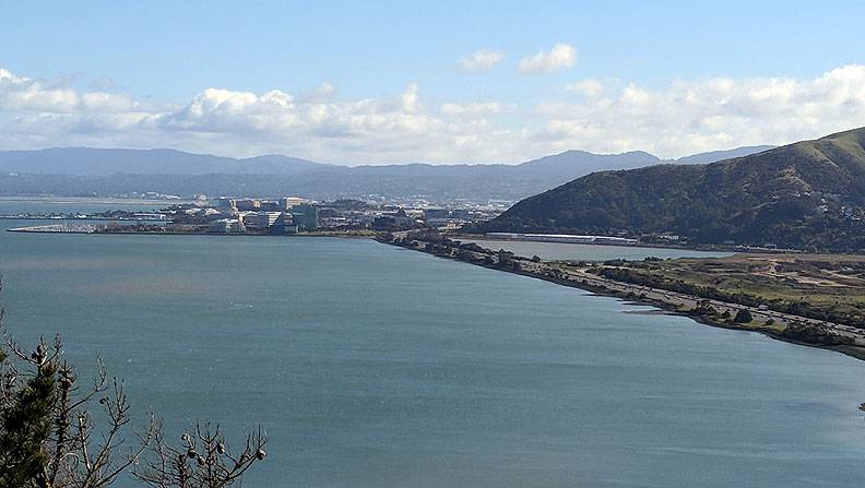
Sierra Point and Highway 101 as it wraps around southeastern corner of San Bruno Mountain, 2018.
Photo: Chris Carlsson
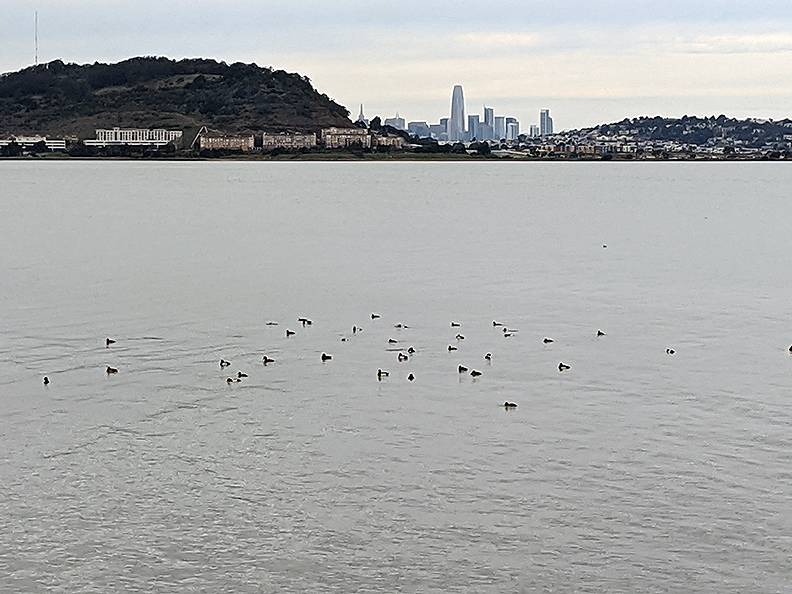
View north from shores of the former landfill at Sierra Point, now an office park. Bayview Hill and Candlestick Point across the water, downtown in far distance.
Photo: Chris Carlsson
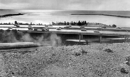
Sierra Point c. 1976, still being filled.
Photo: San Francisco History Center, San Francisco Public Library
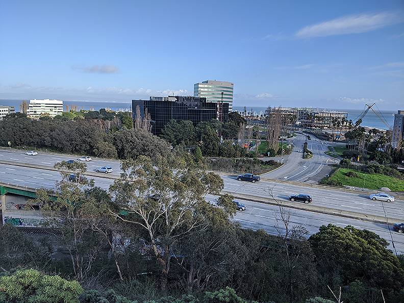
Sierra Point in 2020, viewed from old Bayshore Highway above and west of Highway 101.
Photo: Chris Carlsson
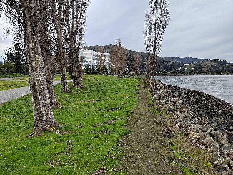
Sierra Point's north shoreline, looking west toward San Bruno Mountain and the rest of Brisbane.
Photo: Chris Carlsson
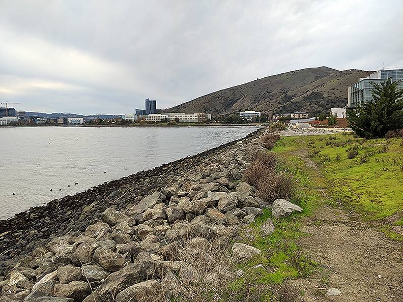
Sierra Point's southern shoreline, looking west toward San Bruno Mountain and the city of South San Francisco.
Photo: Chris Carlsson

