Rincon Hill 1938 Aerial: Difference between revisions
No edit summary |
(PC) |
||
| Line 1: | Line 1: | ||
'''<font face = arial light> <font color = maroon> <font size = 3>Unfinished History</font></font> </font>''' | |||
[[Image:soma1$folsom-to-brannan-1939-aerial.jpg]] | [[Image:soma1$folsom-to-brannan-1939-aerial.jpg]] | ||
Revision as of 01:41, 18 January 2009
Unfinished History
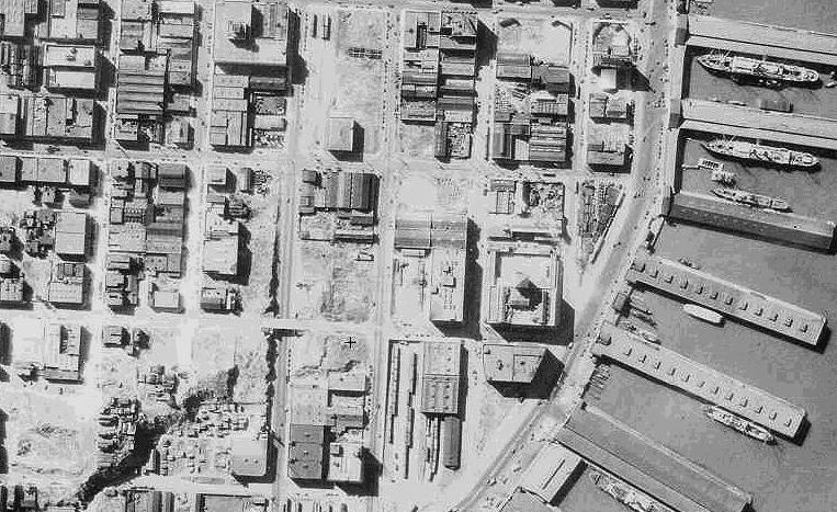
1939 aerial photo of Embarcadero and South of Market.
Folsom runs east-west in the center of the image; with Harrison below it, and Bryant Street at the very bottom edge. Rincon Hill is the irregular formation in the lower left corner.
Rincon Hill, landing point of Bay Bridge

