Privately Owned Public Open Spaces (POPOS)
"I was there..."
by Chris Carlsson
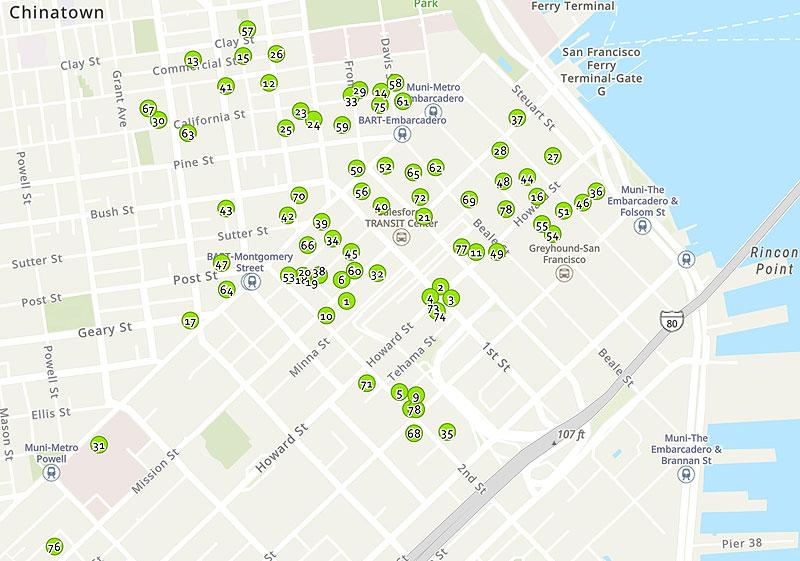
This map shows where all the Privately Owned Public Open Spaces are in downtown. Most of them are open to the public at all times, though some have limited hours, and others are closed.
Map: San Francisco Department of Planning
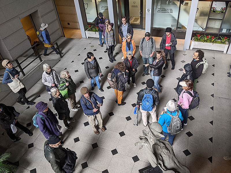
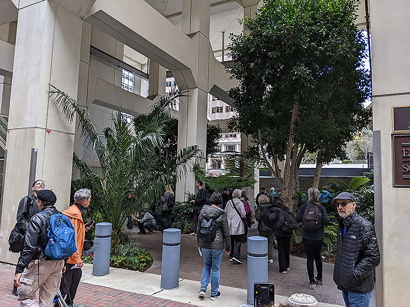
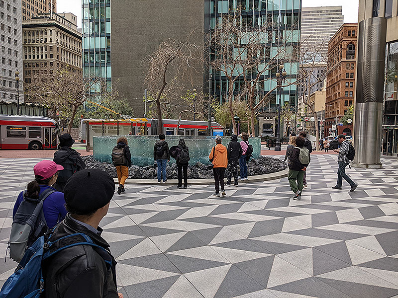
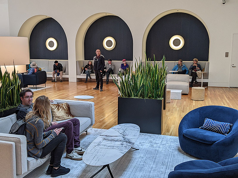
On March 22, 2023, as part of the Shaping San Francisco 25th anniversary celebration, we hosted a tour of the oddly named POPOS (Privately Owned Public Open Spaces), those weird places that you can only use as long as you stay well within the bounds of acceptable behavior to the corporate overlords who own them. Plaques embedded in sidewalks and stairways designate otherwise public thoroughfares as “private property” and thus the “right to pass is subject to control of owner.” Sheesh! We’re just walkin’ here, bub!. Private security guards left us unmolested, and in some cases were quite gracious in helping us to access their facilities.
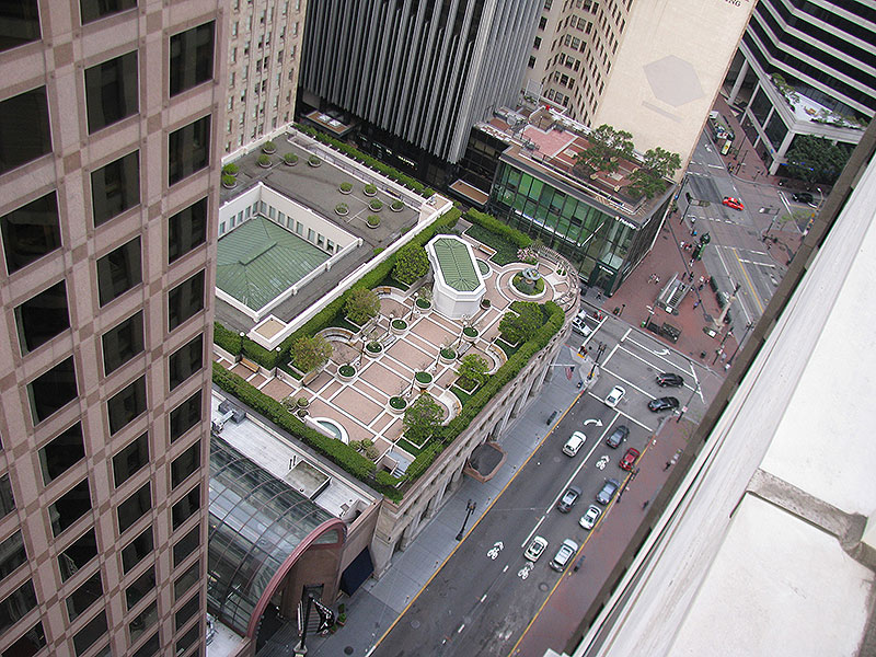
This is the roof garden at 1 Post Street as seen from the roof at 88 Kearny in 2013. It was closed when we conducted our tour in March 2023.
Photo: Chris Carlsson
Several roof gardens we hoped to include in our tour are closed, either for renovations or ostensibly because a prolonged Covid threat justifies their continued closure. Nevertheless, we found a path through almost two dozen sites, some of which display the pecuniary interests of property developers who designate marginal and unaccommodating slivers of property to meet their legal obligations. But others we’ll visit offer luxurious space both indoors and outside, with comfy seating, elegant gardens, and sunsplashed lounges to welcome the weary downtown explorer.
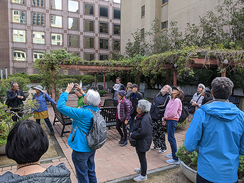
We start at the Crocker Galleria roof garden.
Crocker Galleria roof garden.
Photo: Chris Carlsson
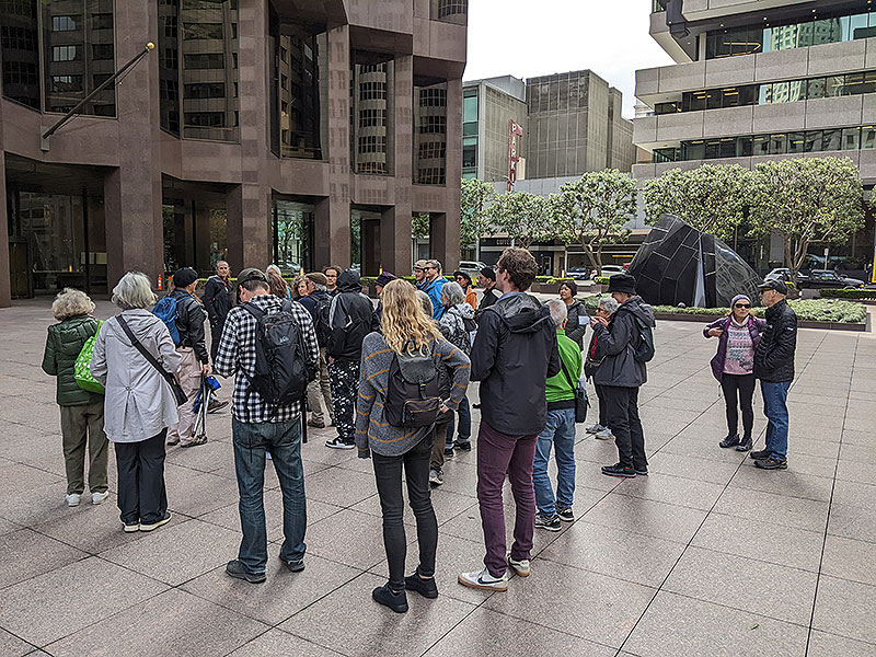
555 California Street with the Banker's Heart in the distance.
Photo: Chris Carlsson
456 Montgomery Street
Photo: Chris Carlsson
25 Ecker Street.
Photo: Chris Carlsson
525 Market Street.
Photo: Chris Carlsson
55 Second Street.
Photo: Chris Carlsson
101 Second Street.
Photo: Chris Carlsson
from the San Francisco Planning Department website:
San Francisco has a 1% Art Program that requires all projects involving new building, or the addition of 25,000 square feet or more in the Downtown and nearby neighborhoods, provide public art equal to at least 1% of the total construction cost. This program was established by the 1985 Downtown Plan and is governed by Section 429 of the Planning Code.
1% for Art!
Cartoon by Jean-Francois Batellier, self-published in Paris, France in 1979.
Since May 2012, some projects may choose to dedicate a portion of their 1% Art requirement to the City’s Public Art Trust. To read more about the requirements, and the Public Art Trust, please read the Public Art Requirement Fact Sheet.
In 2013, Section 429 of the Planning Code was amended to expand the public art requirement to all non-residential projects that involve a new building or addition in excess of 25,000 square feet in 15 zoning districts, concentrated in sections north of downtown along the waterfront, most of the South of Market, Dogpatch, and parts of the Mission District. Read a summary of the current requirements for Public Art.
The 1985 Downtown Plan
In San Francisco, POPOS mostly appear in the Downtown office district area. Prior to 1985, developers provided POPOS under three general circumstances: voluntarily, in exchange for a density bonus, or as a condition of approval. The 1985 Downtown Plan created the first systemic requirements for developers to provide publicly accessible open space as a part of projects in C-3 Districts. The goal was to “provide in the downtown quality open space in sufficient quantity and variety to meet the needs of downtown workers, residents and visitors.” (See Planning Code Section 138 for regulations). Since then, project sponsors for residential projects may provide POPOS instead of their required open spaces in the Downtown Residential (DTR) and Eastern Neighborhoods (Section 135 of the Planning Code).
Today’s Downtown Gallery
More than 25 years since the adoption of the Downtown Plan, downtown has seen the growth of an extensive outdoor gallery that enriches the environment for workers and tourists alike. The spirit of the 1% for Art requirement is to ensure that the public has access to high-quality and variety in art. To help catalog the Downtown public art gallery and to increase public access to this art, the Planning Department has created a map displaying the locations and images of public art in the downtown district (see Map tab), and a printable guide available for download: Today’s Downtown Gallery. About the Downtown Plan
The groundbreaking “Downtown Plan,” adopted in 1985, was developed under the fundamental assumption that significant employment and office development growth would occur. New commercial development would provide new revenue sources to cover a portion of the costs of necessary urban service improvements. Specific programs were created to satisfy needs for additional housing, transit, childcare, open space, and art.
Our Route
- 1. Crocker Galleria roof garden
- 2. Trinity Alley
- 3. 555 California: The Banker’s Heart
- 4. 456 Montgomery
- 5. 343 Sansome
- 7. 345 California (x2)
- 8. 100 Pine Street (from Front)
- 9. 425 Market
- 10. 14 Fremont
- 11. 100 First Plaza—Sun Terrace
- 12. 25 Jessie
- 13. 49 Stevenson
- 14. 525 Market
- 15. 555/575 Market
- 16. 595 Market
- 17. 55 Second
- 18. 555 Mission
- 19. 101 Second
- 20. 235 Second
- 21. Marathon Plaza
- 22. 222 Second
- 1. Crocker Galleria roof garden

