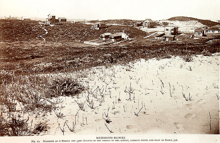
Pre-Urban Richmond District
Unfinished History
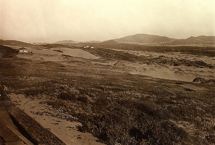
Southeast view across the Richmond District towards Golden Gate Park and Mt. Sutro, 1890.
Photo: Private Collection, San Francisco, CA
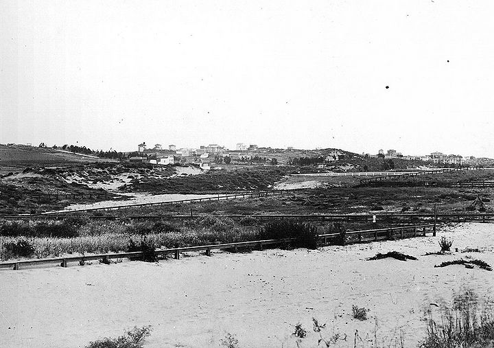
Clement Street at 4th Avenue, c. 1901.
Photo: Private Collection, San Francisco, CA
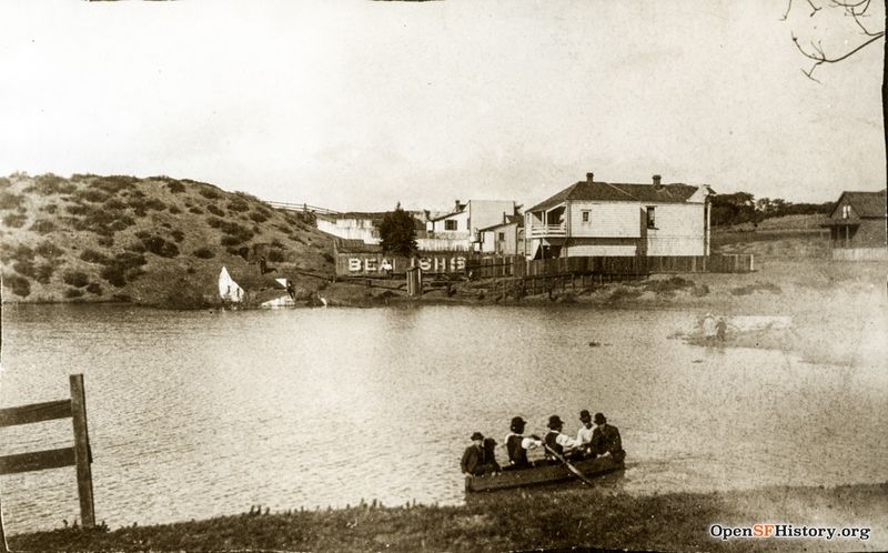
Interdune lake known as Kelly's Pond, north of today's Geary Blvd. at Parker Street. Once a popular hunting spot, it was filled in during the 1890s.
Photo: OpenSFHistory.org wnp4.1469
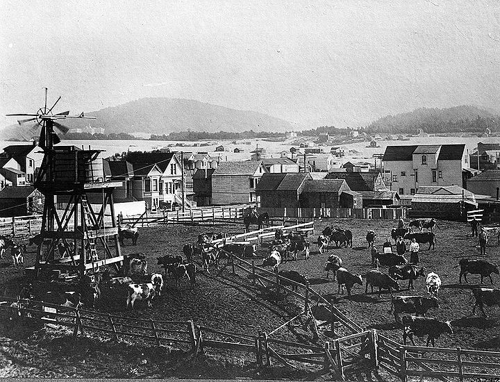
Dairy farm in the Richmond, early 1900s.
Photo: Private Collection, San Francisco, CA
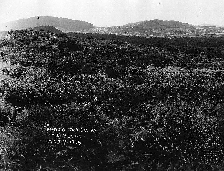
Outer Richmond District looking southeast towards Golden Gate Park and Mt. Sutro, 1916.
Photo: Private Collection, San Francisco, CA
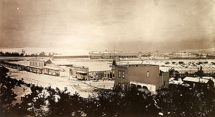
Snow in the Richmond District, probably mid-1880s.
Photo: Private Collection, San Francisco, CA
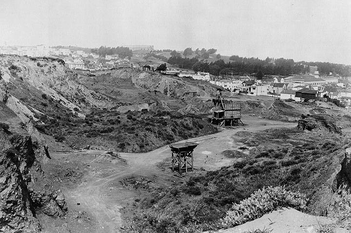
Outer Richmond, 1920s.
Photo: Private Collection, San Francisco, CA
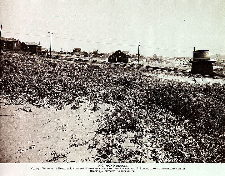
47th and Anza, 1925.
Photo: Private Collection, San Francisco, CA
33rd Avenue and Anza, 1925.

