Holly Park view: Difference between revisions
mNo edit summary |
(added photo) |
||
| (5 intermediate revisions by the same user not shown) | |||
| Line 1: | Line 1: | ||
'''<font face = arial light> <font color = maroon> <font size = 3>Unfinished History</font></font> </font>''' | |||
[[Image:Holly-park-from-Diamond-Hts 0670.jpg]] | |||
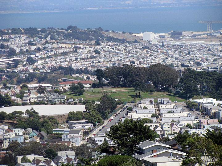
'''View of Holly Park taken from Diamond Heights, easterly direction, July 2009.''' | |||
''Photo: Chris Carlsson'' | |||
[[Image:bernlhts$holly-view-i.jpg]] | [[Image:bernlhts$holly-view-i.jpg]] | ||
| Line 11: | Line 19: | ||
''photo: Chris Carlsson'' | ''photo: Chris Carlsson'' | ||
[[St Mary's Residential Tract | Prev. Document]] [[ | [[Image:Bernal-Folks-Festival.jpg]] | ||
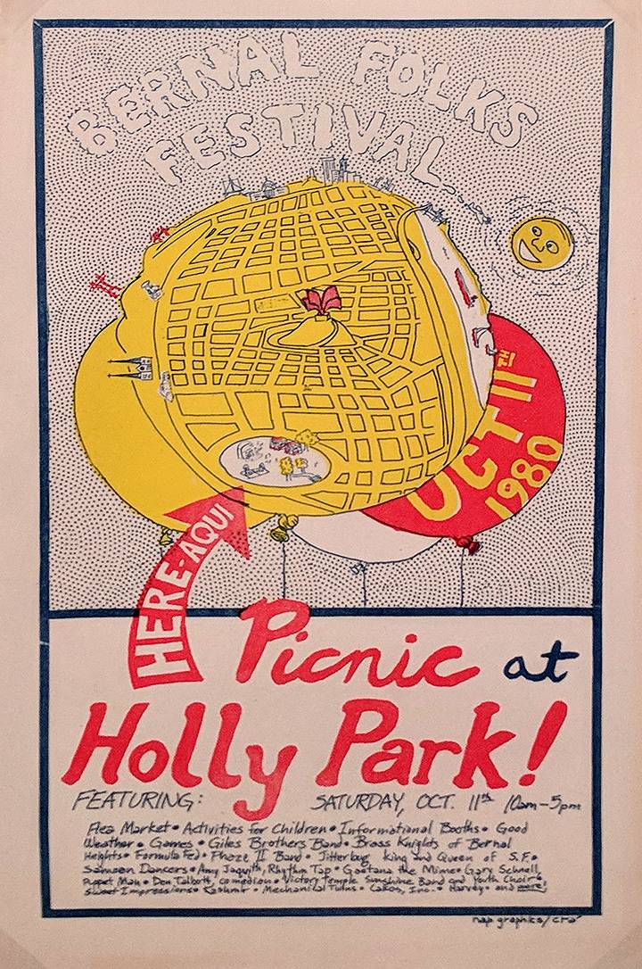
'''Community festival and picnic at Holly Park, 1980.''' | |||
''Image: courtesy San Francisco Arts Commission'' | |||
[[St Mary's Residential Tract | Prev. Document]] [[SLA safe house | Next Document]] | |||
[[category | [[category:Bernal Heights]] [[category:1990s]] [[category:2000s]] [[category:1980s]] | ||
Revision as of 22:10, 13 September 2018
Unfinished History
View of Holly Park taken from Diamond Heights, easterly direction, July 2009.
Photo: Chris Carlsson
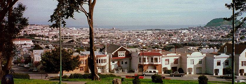
View southeast from Holly Park, with Bayview Hill and Candlestick Point at right, Potrero Hill in distant left, intersection of Highway 101 and I-280 at middle left.
photo: Chris Carlsson
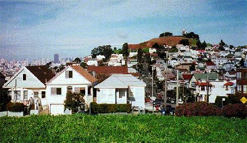
View north from Holly Park along Bocana St., with Bernal Heights hill and the downtown skyline behind it.
photo: Chris Carlsson
Community festival and picnic at Holly Park, 1980.
Image: courtesy San Francisco Arts Commission


